


Halfway through the “Ice-jam flood risk management in Latvian and Lithuanian regions with respect to climate change” (ICEREG) project, significant progress has been made in understanding and modeling hazardous ice phenomena in border rivers.
At the start, 8 river sections and 10 water measurement stations were selected, providing data to assess the historical ice jam situation. Based on data from 1961–2023, the frequency of ice jams and dangerous water levels were evaluated. The critical levels were most often exceeded in the Lėvėn and Mūša rivers, which were chosen for detailed study.
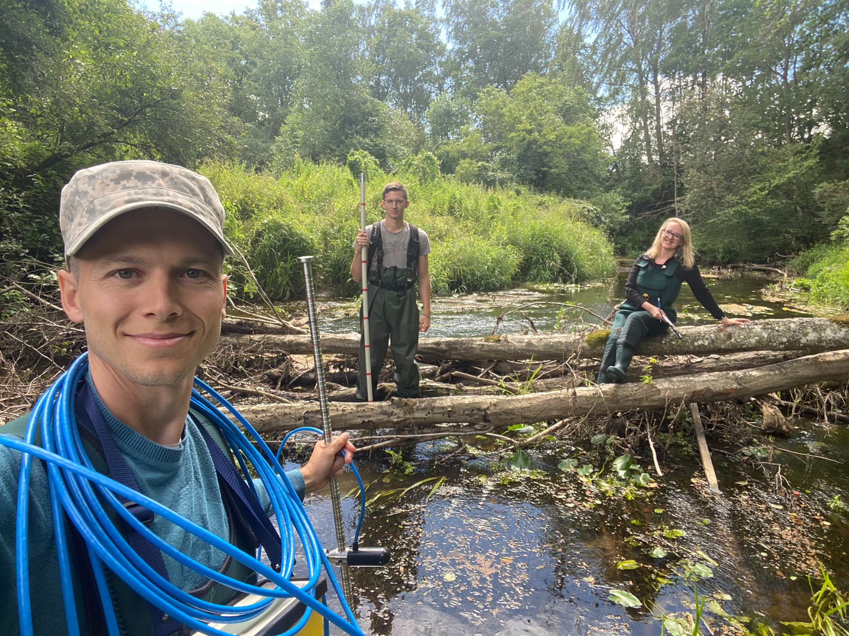
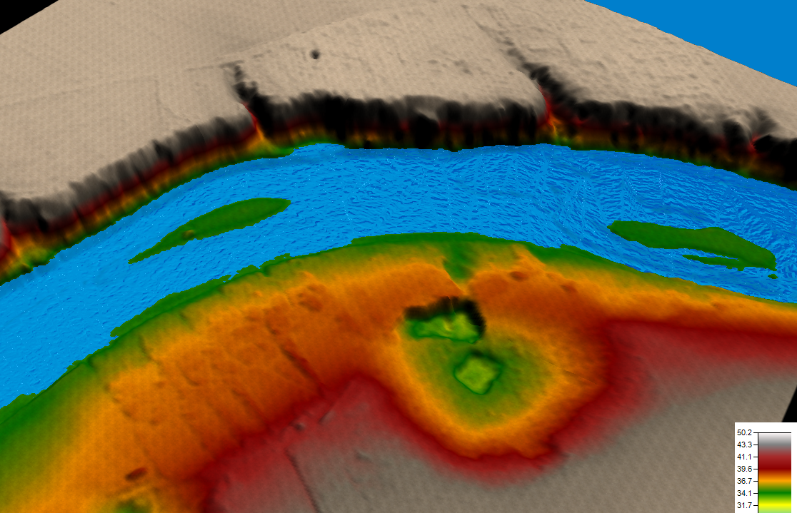
In September 2024, two expeditions were conducted, during which cross-sections and discharge measurements were made using GPS equipment, drones, and echo sounders. The data collected on river geometry and other characteristics will be used for hydrodynamic model calibration in HEC-RAS.
Currently, detailed hydrodynamic models are being developed for the Lėvėn and Mūša rivers. These models will help forecast flood zones under various climate scenarios. Notable results include calculations of rare flood probabilities, which predict a gradual decrease in discharge in the Mūša basin and a slight increase followed by a decrease in the Lėvėn river.
By summer 2025, the hydrodynamic models will be completed, and flood risk zone predictions will be finalized, contributing to better management of ice jam floods in the future.
The Project is funded by the European Union’s Interreg VI-A Latvia–Lithuania Programme 2021–2027